Medio Island Group
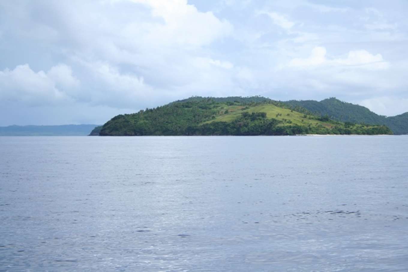
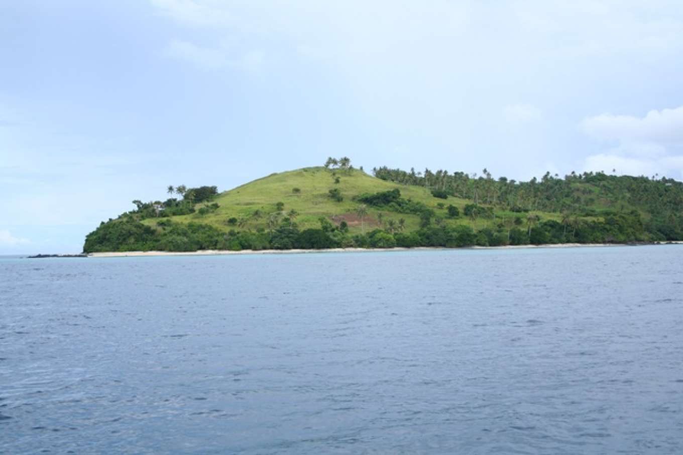
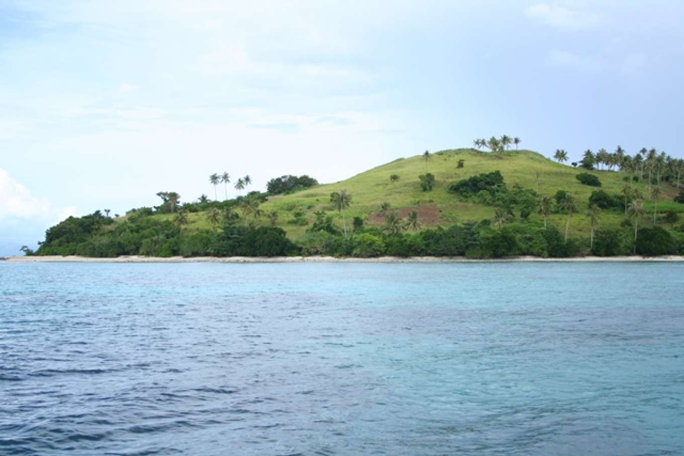
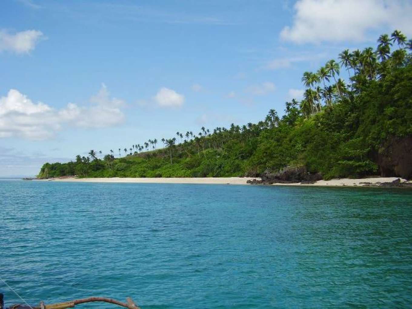
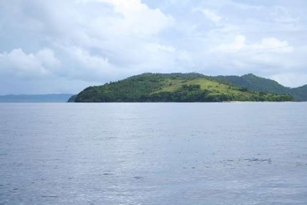
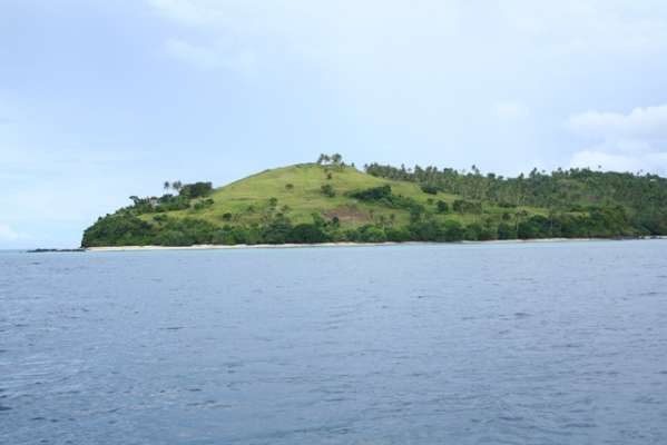
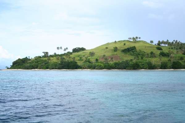
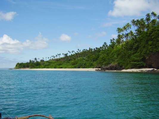
Group of 3 Islands for Sale: Medio Island, Rasa Island and San Andres Island
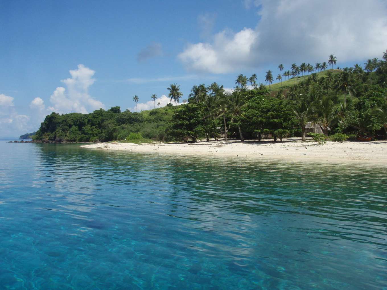
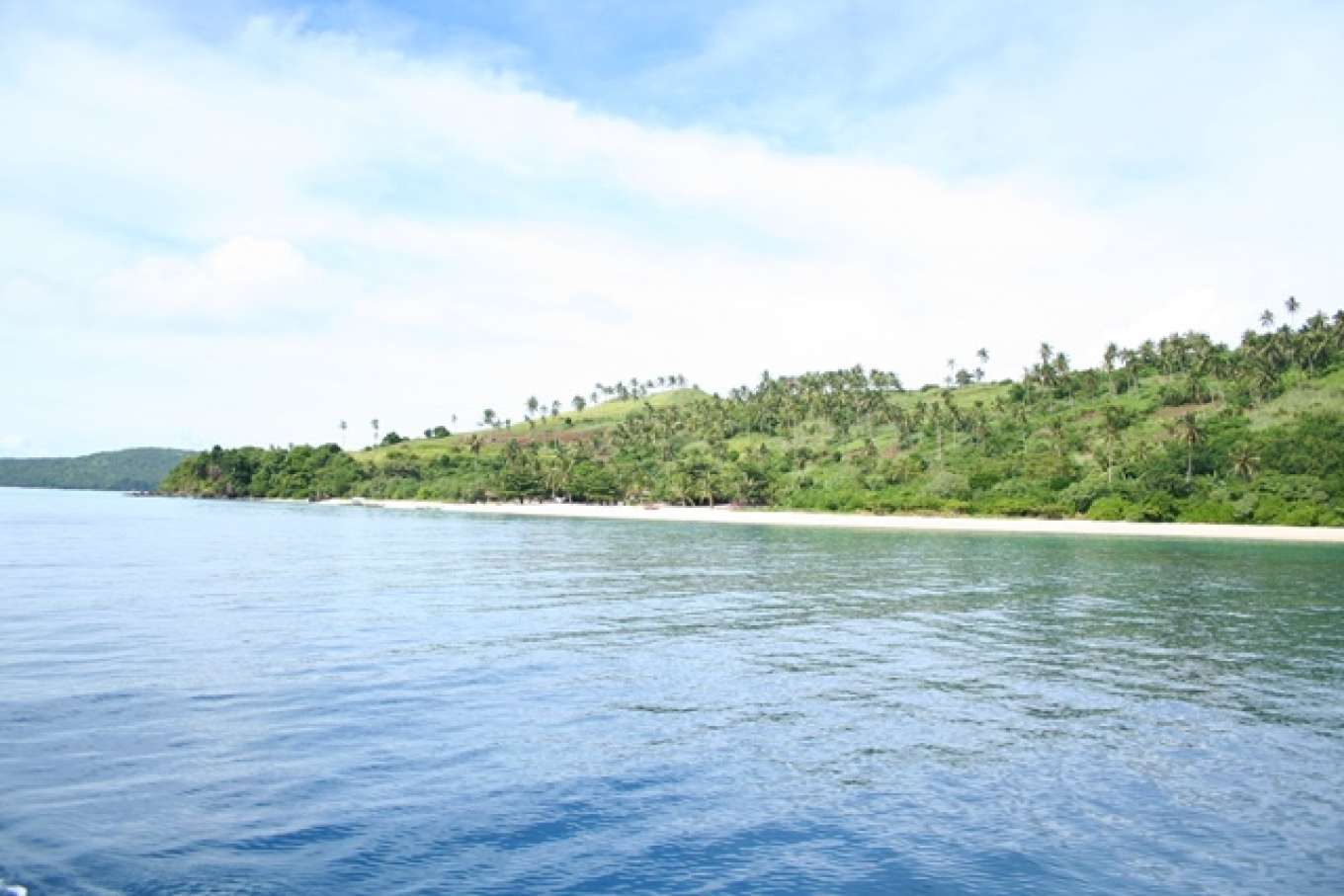
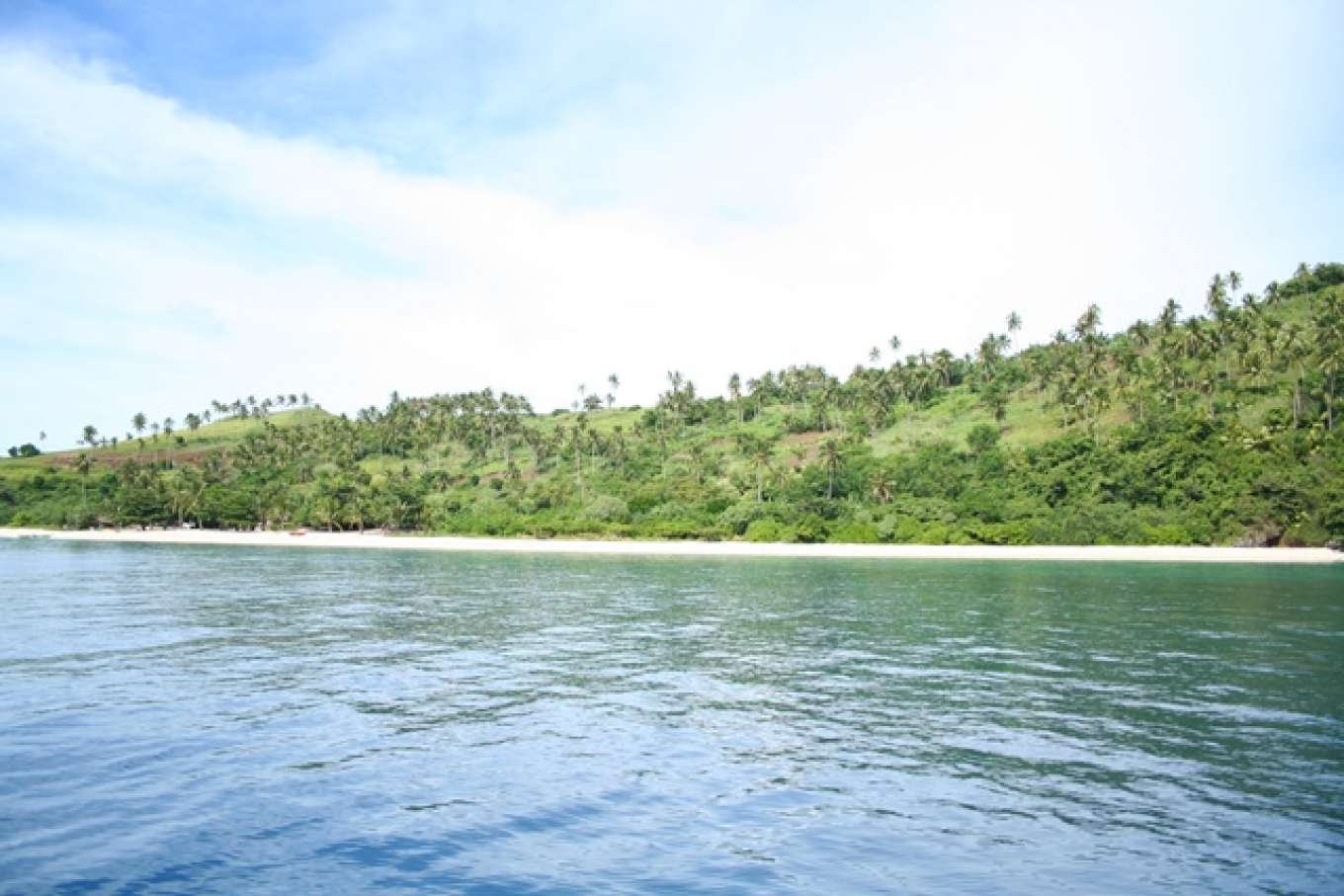
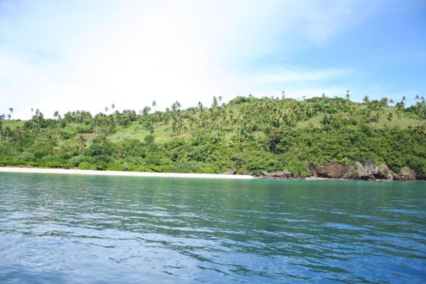
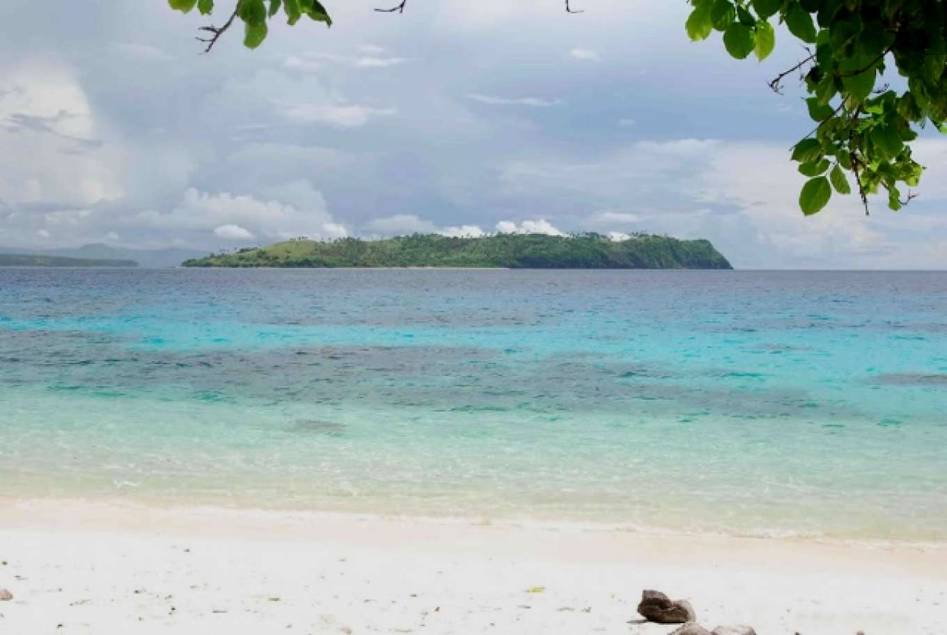
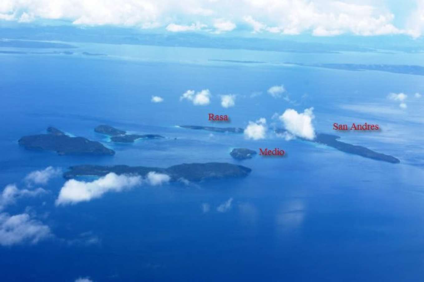
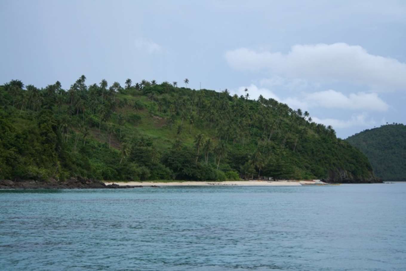
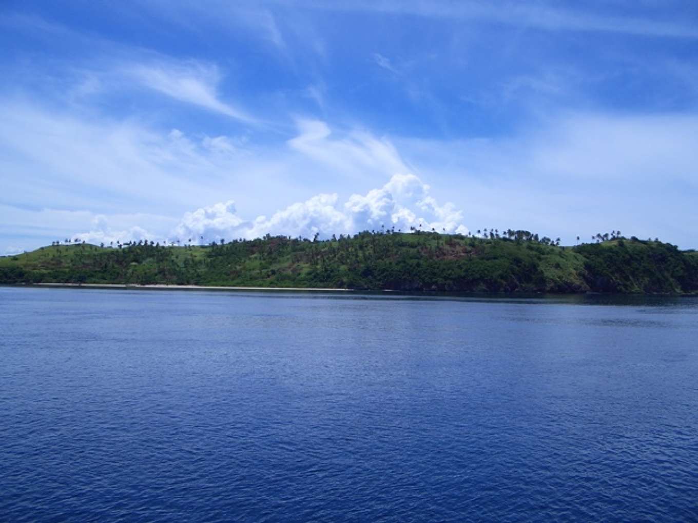
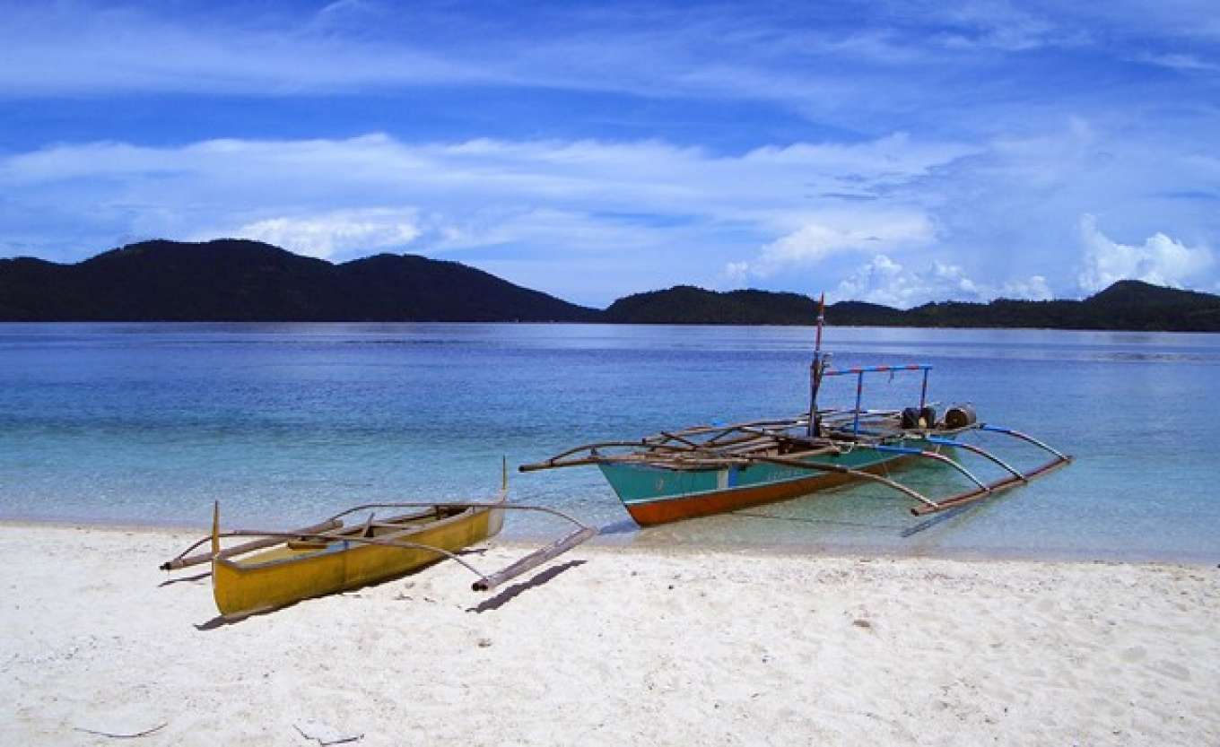
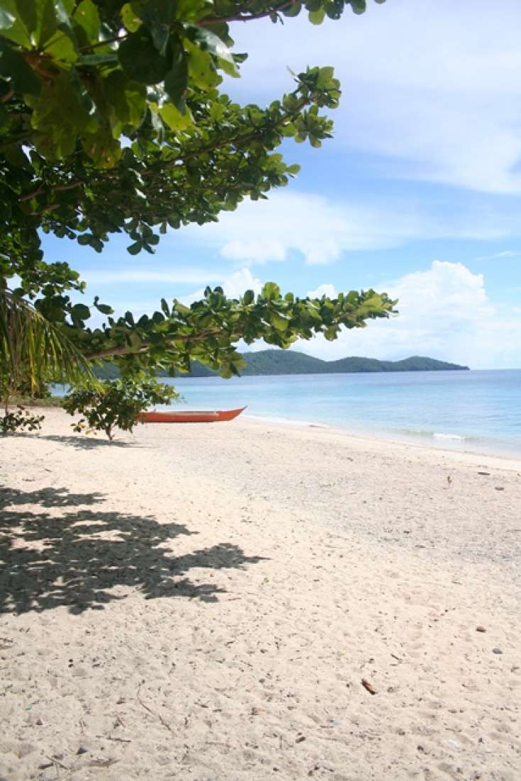
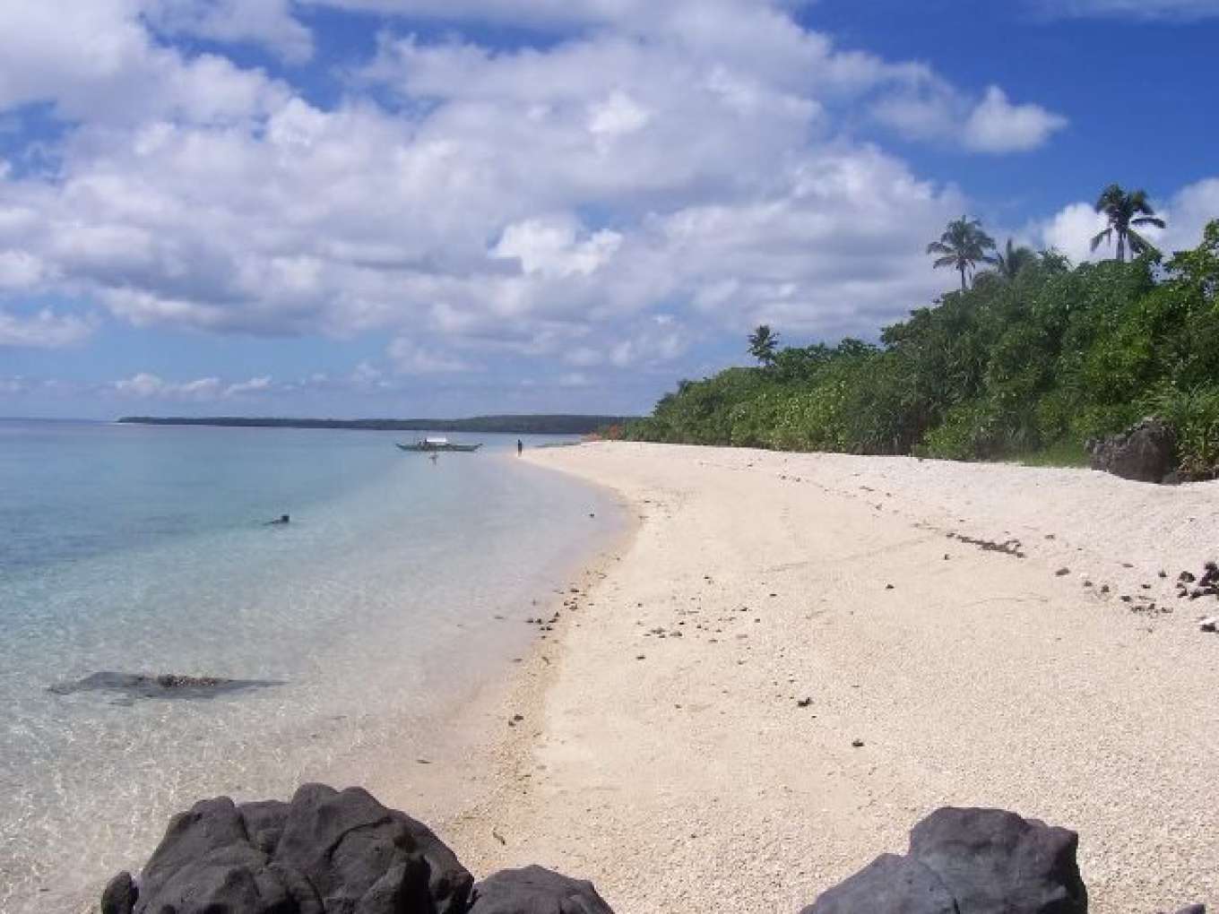
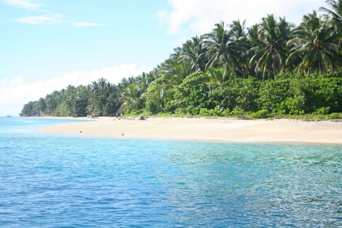
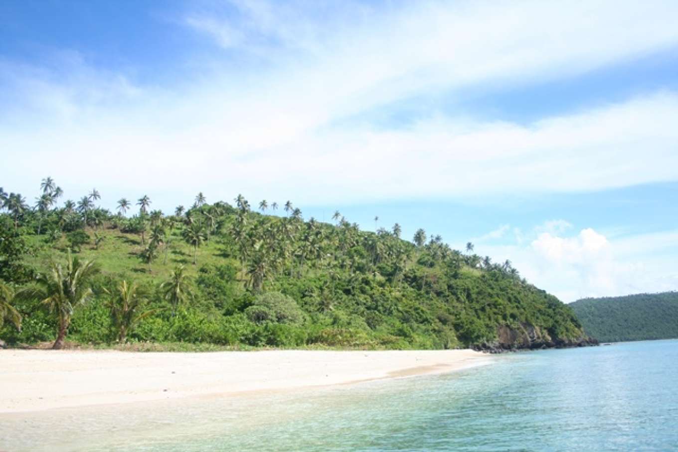
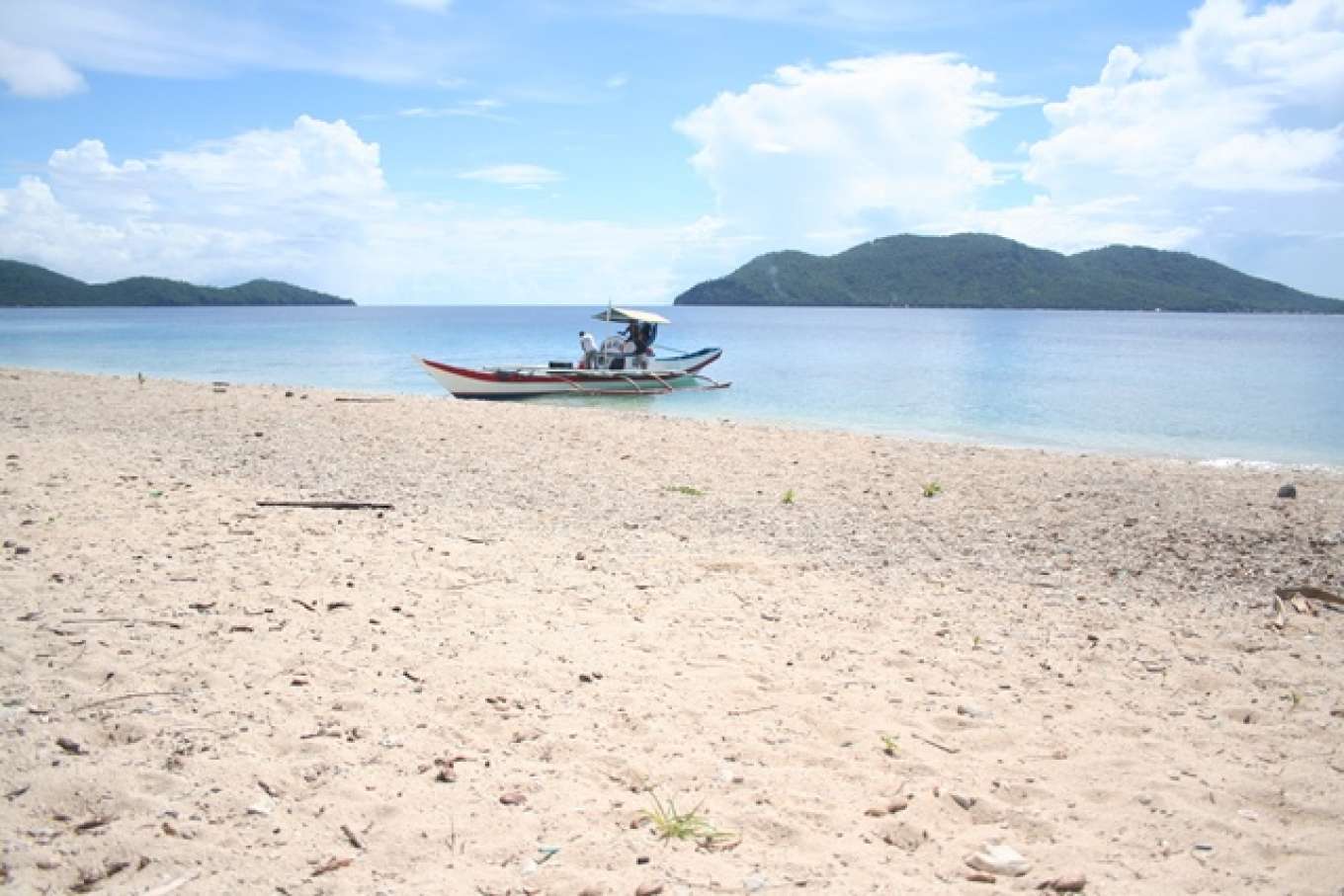
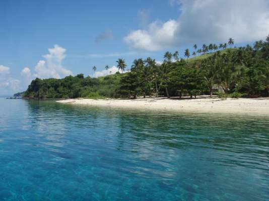
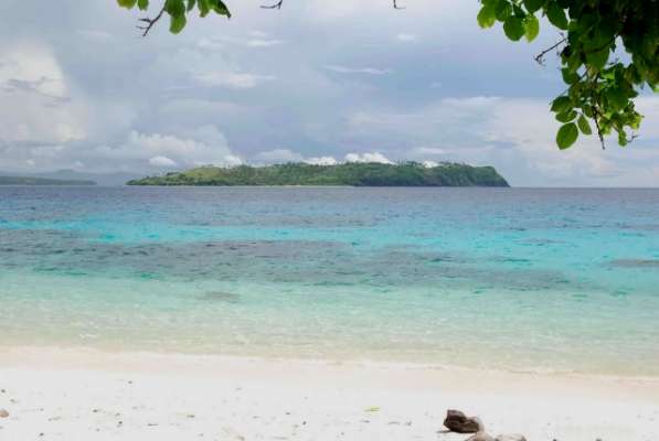
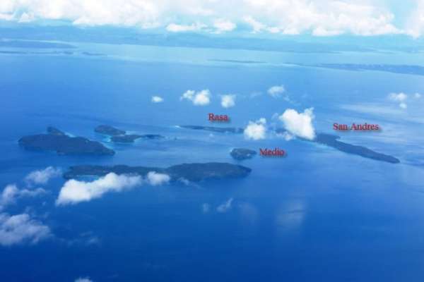
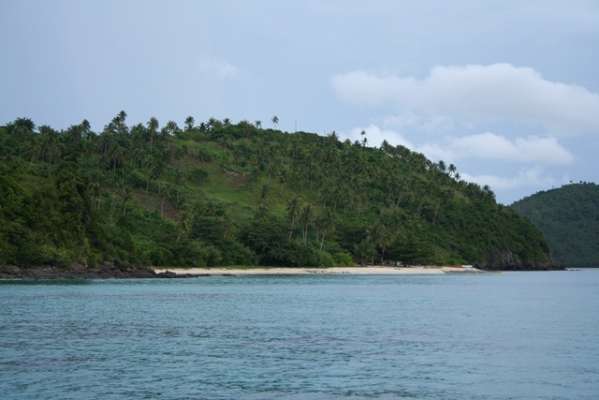
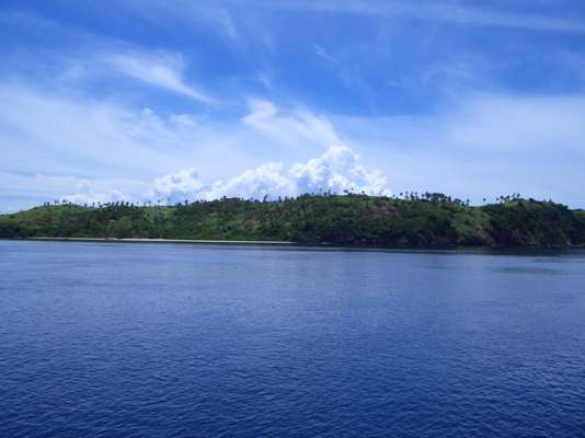
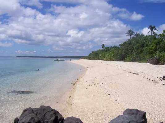
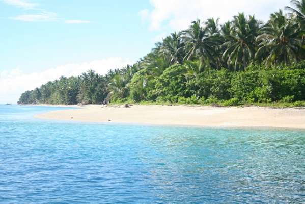
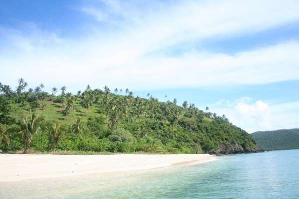
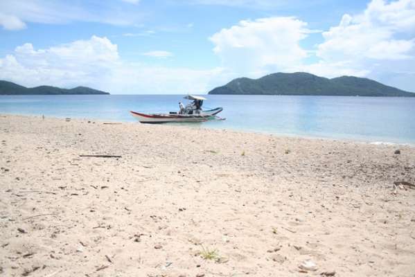
Medio Island, Rasa Island and San Andres Island are 3 islands that are part of a cluster of 6 islands called Naranjo Islands surrounded by Northern Samar in the East, Ticao Island in the West, Sorsogon in the North and Masbate in the Southwest. All three islands are in that cluster of islands known since galleon times as Islas Naranjos (Naranj ...
Group of 3 Islands for Sale: Medio Island, Rasa Island and San Andres Island
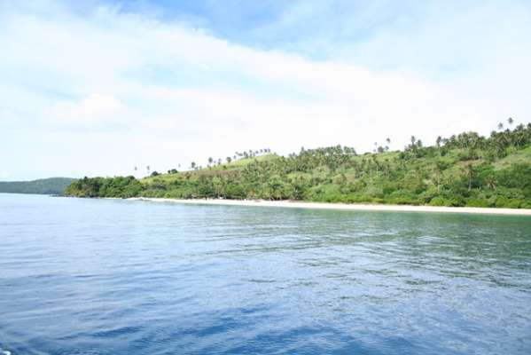
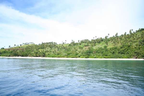
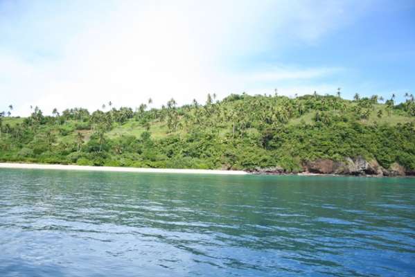
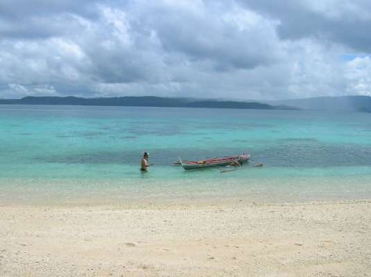
Medio Island, Rasa Island and San Andres Island are 3 islands that are part of a cluster of 6 islands called Naranjo Islands surrounded by Northern Samar in the East, Ticao Island in the West, Sorsogon in the North and Masbate in the Southwest. All three islands are in that cluster of islands known since galleon times as Islas Naranjos (Naranjos being the Spanish word for "oranges).
Medio Island
Area: 401,124 sqm or 40.11 hectares or 99.12 acres
Rasa Island
Area: 824,303 sqm or 82.43 hectares or 203.69 acres
San Andres Island
Area: 3,244,603 sqm or 324.46 hectares or 801.76 acres
Total Area of the 3 Islands: 4,470,030 sqm or 447 hectares or 1,104.57 acres
Location
Naranjo Islands (also known as San Vicente Islands) lie 12 13' North, 124 02' East in the east central periphery of the Philippine archipelago. This group of islands is bounded by Sorsogon in the North, Ticao Island in the West, Masbate in the Southwest and Northern Samar in the Far East. It is approximately 10 nautical miles from the Pacific Ocean and sits near the entrance along the Paso de Acapulco, otherwise known as San Bernardino Strait.
Naranjo Islands consist of six islands formed in a circle cluster with Medio Island at the center. The other islands are San Andres, Rasa, Darsena, Aguada and Escarpada. This group of islands lie within a volcanic belt that has been active for the last 5 1/2 million years and stretches from Southeastern Luzon to Southeastern Mindanao. This volcanic belt includes the active Mayon volcano in Albay.
The circular pattern of the islands and the volcanic composition suggests the group represents the remnants of a submerged volcanic cone which may have formed during the last ice ages when sea level was lower. On the other hand, it could have formed underneath the ocean itself. Medio Island, the center of the group of islands, could be the dome of this extinct volcano.
This group of islands have been the last stop for victuals by the Spanish galleons before their long journey to Acapulco, Mexico.
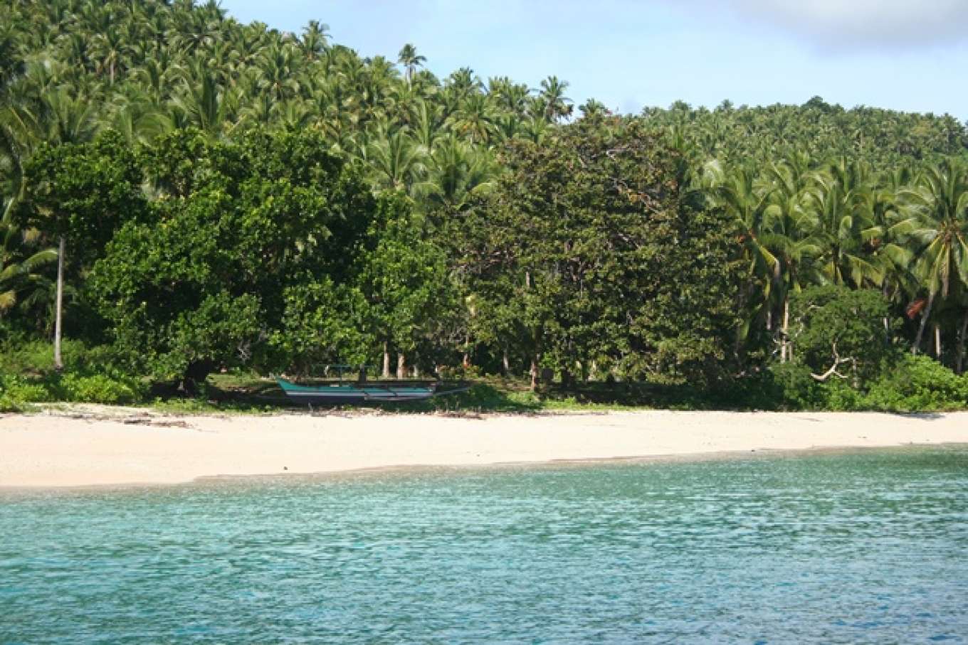
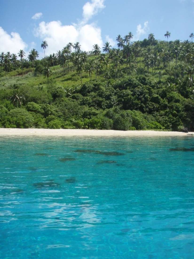
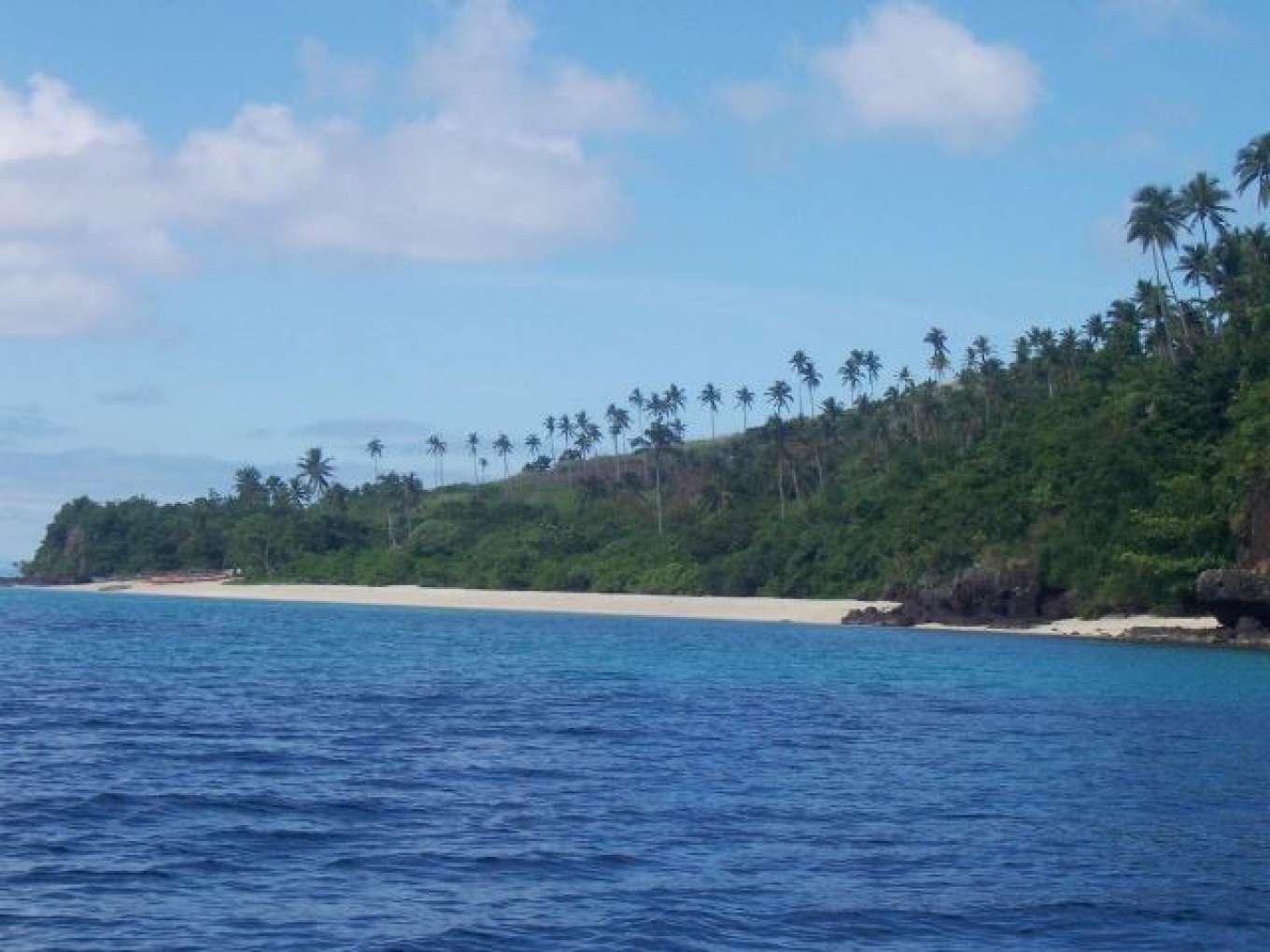
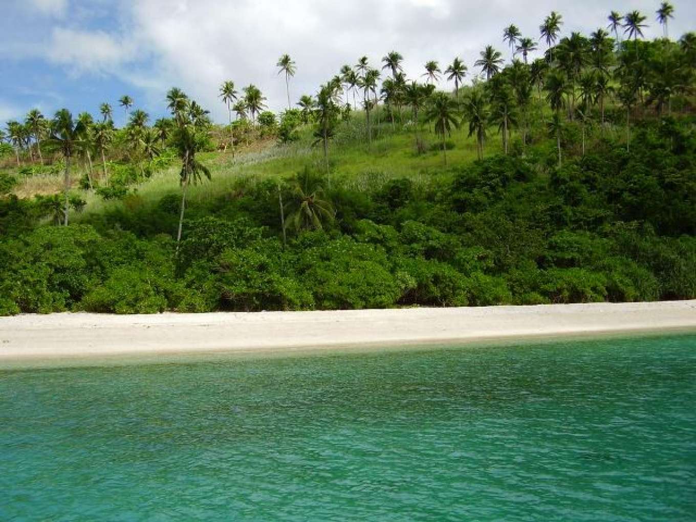
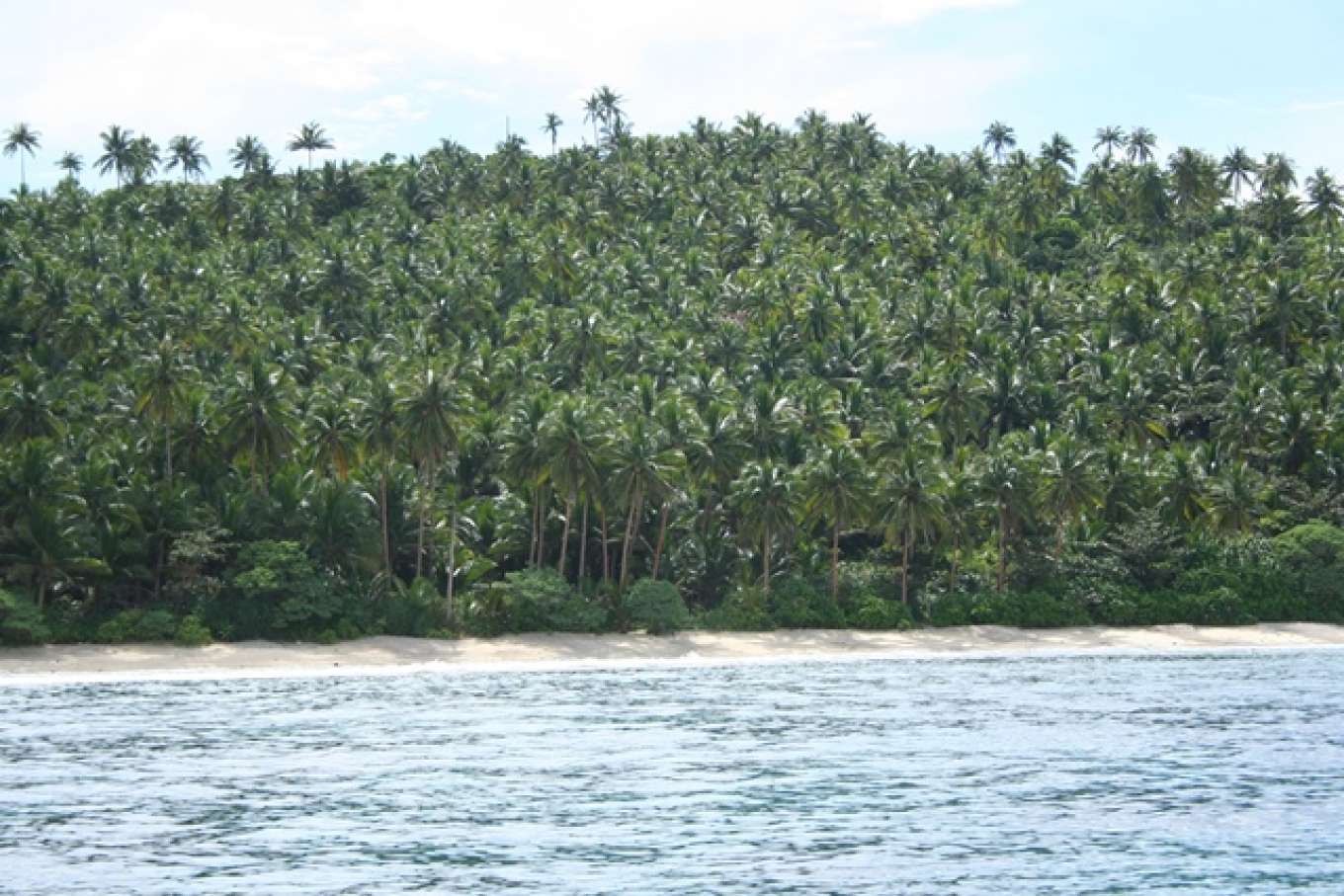
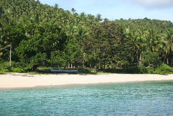
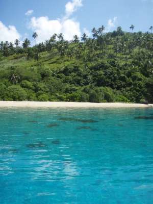
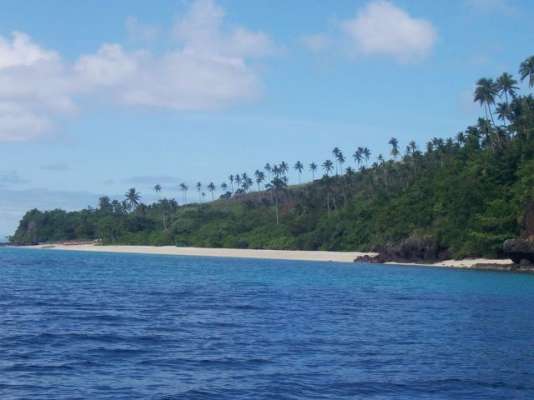
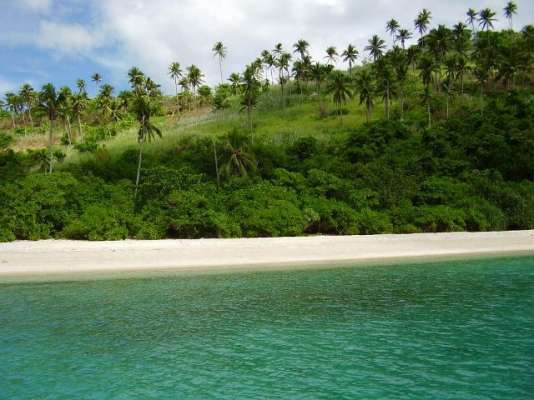
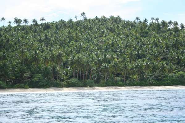
The islands are presently utilized as coconut plantations.
In May 2007, REPUBLIC ACT NO. 9458 [H. No. 786] - An Act declaring the island towns of Biri, Capul, San Antonio and San Vicente (also known as Naranjo Islands), all in the province of Northern Samar, as eco-tourism zones, was passed.
BUSINESS POTENTIALS for these islands are:
Agriculture production - coconuts, corn, etc
Biofuel
Solar Farms
Windmill Farms
Blue Energy
Coffee farming
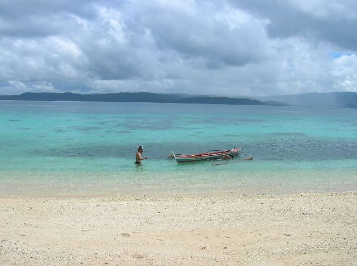
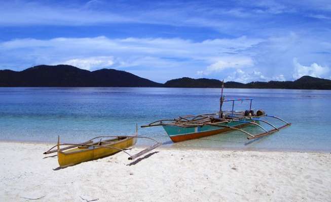
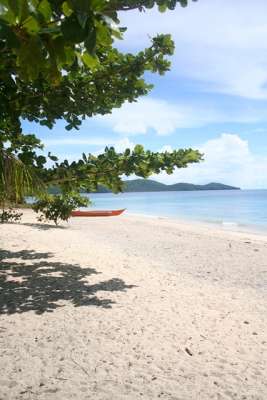
Island beach resorts for Medio and Rasa Islands
Golf Course (for Rasa Island)
Yacht Club
Retirement communities for San Andres Island
Private Airports (for Rasa Island and San Andres Island)
Helipads (for Medio Island, Rasa Island and San Andres Island)

