Isla Lacao
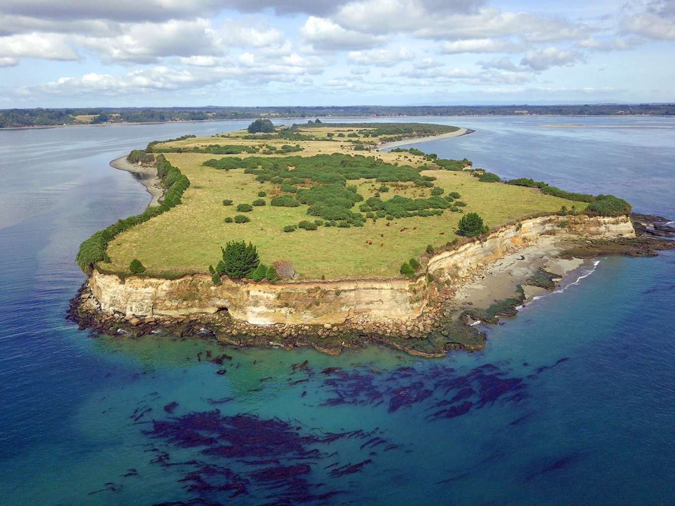
Undeveloped Isla Lacao, located in the quiet and tourist-friendly bay of Caulín, is the only island located north of the Greater Island of Chiloé in the Los Lagos region of Chile.
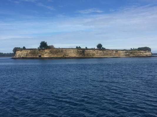
The north side is the highest on this 206-acre island, where a 14-meter cliff delivers a wide view toward the mainland coast, Chacao Channel, the Osorno and Calbuco volcanoes and the Pacific Ocean. This side of the island is accented with petrif ...
Undeveloped Isla Lacao, located in the quiet and tourist-friendly bay of Caulín, is the only island located north of the Greater Island of Chiloé in the Los Lagos region of Chile.
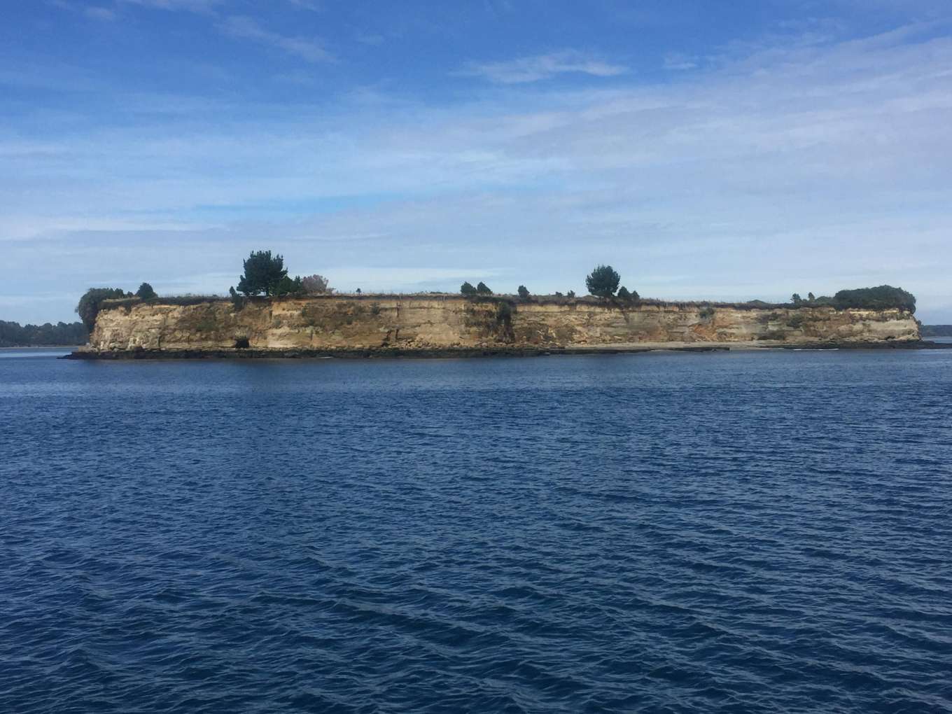
The north side is the highest on this 206-acre island, where a 14-meter cliff delivers a wide view toward the mainland coast, Chacao Channel, the Osorno and Calbuco volcanoes and the Pacific Ocean. This side of the island is accented with petrified larch wood and high-altitude rock formations. To the south, Isla Lacao decreases in height until it reaches sea level, revealing a gap where the sea enters—according to the tides—a 15-acre natural bay that could be transformed into a marina for smaller vessels. In the east, south and west of the island are gently sloping beaches suitable for swimming.
Several types of vegetation dot the island’s landscape and usable water sources are available for the irrigation of grasslands and consumption. It also has a well registered in the General Water Directorate.
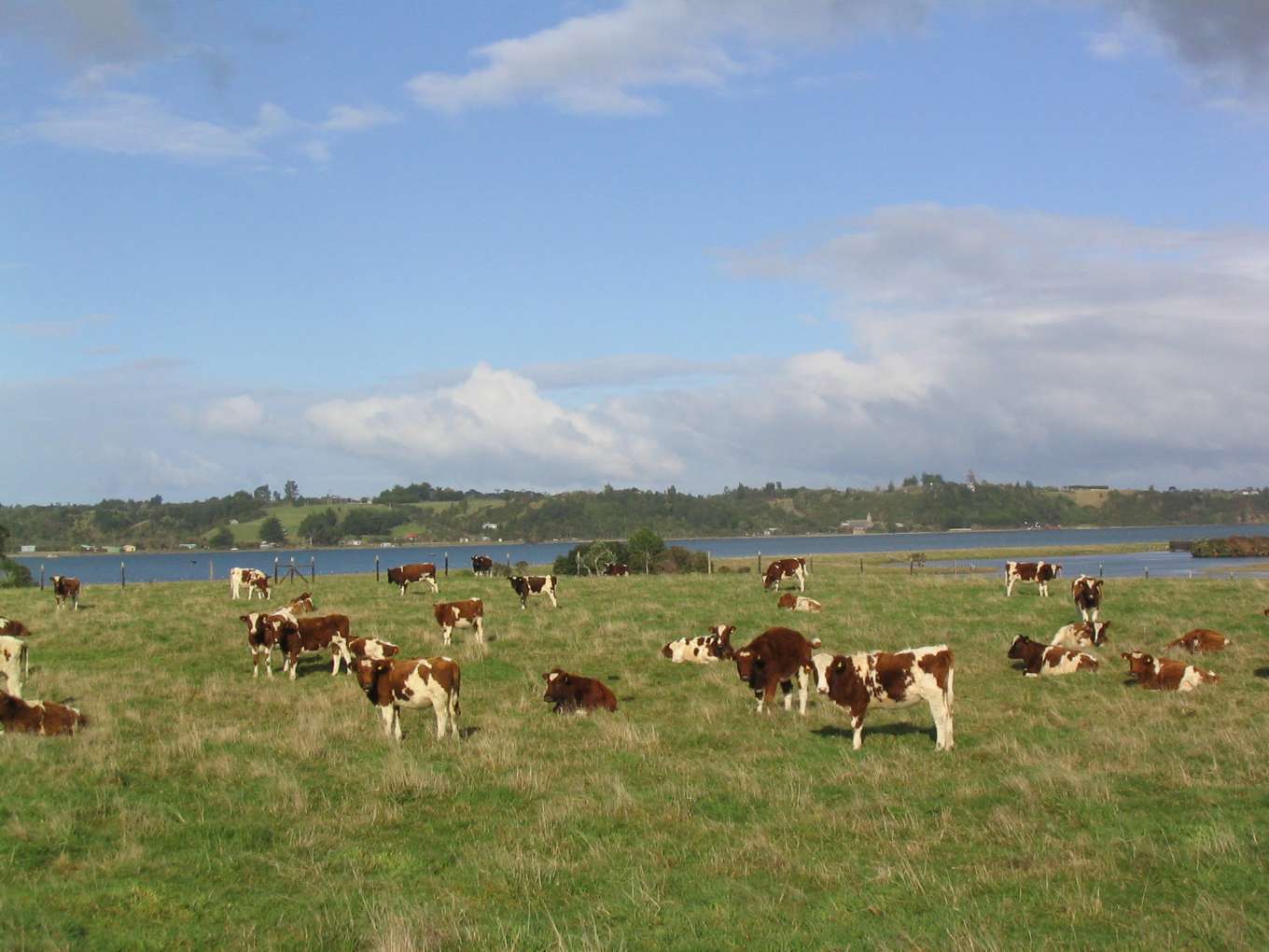
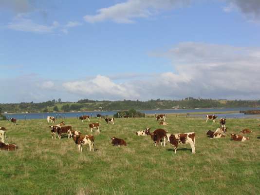
This unique property has great potential in a diversity of areas, such as real estate development, tourism, conservation, aquaculture, forestry and agriculture. A few years ago, it was used to raise 140 head of cattle. It’s conveniently positioned 44 miles from Puerto Montt, which sits on the opposite side of the Chacao Channel, and approximately 15 miles from the city of Ancud.

